
Severe thunderstorms marched across Oklahoma overnight into the morning, bringing hail, high winds and flash flooding.
But the weather isn’t going to let up for long. More severe storms are expected in the afternoons of Tuesday and Wednesday this week, along with heavy rain and potential flooding.
Here’s what to know about weather in Oklahoma over the next few days:
Storms moved across Oklahoma overnight Monday, Tuesday
Multiple rounds of severe thunderstorms progressed northeastward through Oklahoma, starting in the late evening of Monday, April 28 in southwest Oklahoma.
Some storms contained wind gusts of 70 miles per hour, and golf ball sized hail. There were also three tornado warnings in the rural areas of Olustee, Headrick and Comanche County northeast of Snyder.
Severe weather risk returns Tuesday afternoon
The risk of severe storms returns Tuesday afternoon, with the highest risk of severe weather in southwest Oklahoma near Lawton, according to the National Weather Service in Norman.
Hail and wind are the primary concerns, the weather service said, with winds up to 70 miles per hour and baseball sized hail possible. Meanwhile, there is a low potential for tornadoes.
Storms could begin as early as 1 p.m. in southwest and western Oklahoma.
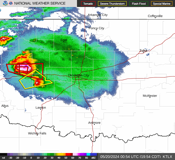
Live radar for Oklahoma City area
Check here for live weather radar from the National Weather Service.
Severe weather alerts in Oklahoma
Check this map for weather alerts and warnings issued in Oklahoma.
Where flood risk is highest in Oklahoma
In addition to severe thunderstorms which could bring hail, damaging winds and tornadoes, the chance of flooding is high Tuesday, April 29, and Wednesday, April 30.
With heavy rain in the forecast, the weather service expects 2 to 4 inches of rain across central and southern Oklahoma over the two-day period. Some areas could see more than 6 inches of rain.
The weather service highlighted an area spanning from southwest Oklahoma, near Lawton, and the south OKC metro, as being at the highest risk of additional and significant flash flooding.
However, the weather service warned that flooding is likely across many areas, especially in low-lying and poorly drained locations.
Severe weather returns Wednesday
The risk of severe weather will once again return on Wednesday, April 30, though much of Oklahoma will only be at a marginal risk of severe storms.
Chances of showers and storms will continue throughout the next seven days, the weather service said.
This article originally appeared on Oklahoman: Severe thunderstorms, flash flooding expected in Oklahoma: See timing