The number of wildfires burning in Florida is continuing to climb, with most rainfall over the weekend and Monday morning falling on counties not suffering drought conditions.
Monday morning, April 7, there were 54 wildfires burning in Florida, up from 49 April 4, according to the Florida Forest Service, affecting 1,333 acres.
➤ Weather alerts via text: Sign up to get updates about current storms and weather events by location
The largest fire is the Wiggins Fire, burning 250 acres in Collier County. The fire is 95% contained.
The average statewide drought index increased to 356 Sunday, up sharply from 313 last week. The driest conditions continue across South and Southwest Florida.
See the map: Active wildfires reported across Florida
Highlights of some of the wildfires burning in Florida:
Wiggins Fire: Collier County. 250 acres. 95% contained.
Pretty Pine Fire: Polk County. 125 acres. 90% contained.
Walker Road Fire: Polk County. 60 acres. 70% contained.
Packinghouse Road Fire: Hillsborough County. 55 acres. 80% contained.
Tram Road Fire. Bay County. 47 acres. 80% contained.
Alcoy Road Fire: Duval County. 40 acres. 75% contained.
How do Florida brush fires get their names?
“Wildfire names are generally based on the geographic location of the fire or a nearby geographic feature,” according to Tim Brown, communications manager with the Florida Forest Service in an email.
“For example, the “344 Fire” was due to its location near 344 Street.”
Will it rain in Florida soon?

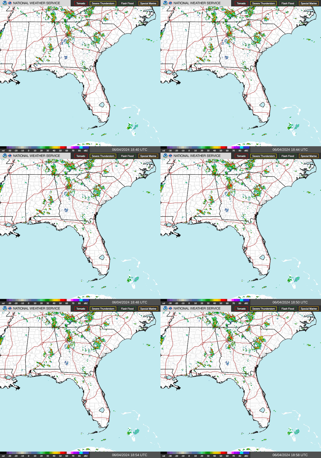
There is some rain falling in Florida today, April 7, as storms move across the Panhandle ahead of a cold front.
Scattered to numerous showers and thunderstorms can be expected across North Florida Monday and the northern and central peninsula Monday night, according to the Florida Department of Emergency Management.
Activity will weaken but persist across Central and South Florida on Tuesday, with a 45% to 75% chance of rain.
Isolated to scattered showers and thunderstorms may persist across South Florida and the Keys Tuesday night.
Interactive map: Enter your address to find closest wildfire risks
Current drought conditions in Florida
The Keetch-Byram Drought Index average for Florida jumped to 356 Sunday, up 11 points from Saturday, April 5. The drought index uses a scale from 0, which is very wet, to 800, which is very dry.
As of Sunday, April 6, there were 13 Florida counties with a mean Keetch-Byram Drought Index over 500, which means drought or increased fire danger.
Another 14 of Florida’s 67 counties have index numbers in the 400s.
Burn bans in place for 7 Florida counties

Burns bans are in place for several Florida counties as drought conditions continue April 1, 2025.
According to the Florida Forest Service, burn bans are in place for the following counties:
The open burning of yard debris is always prohibited in these counties:
Florida weather radar: Storms bring threat of tornadoes, damaging winds

Western Panhandle, Pensacola: The cold front has cleared all but the far southeastern counties by 4 a.m. CDT. No more flash flood warnings remain in effect. About another quarter inch of rain possible. Highs in the low to mid 60s. Lows tonight low to upper 40s.
Panhandle, Tallahassee: Isolated strong to severe storms. Damaging winds and a few tornadoes remain the primary threats. Localized flash flooding possible. Highs in mid 70s to low 80s. Lows in the mid 40s to low 50.
North Florida, Jacksonville: Strong to isolated severe thunderstorms ahead of a cold front. Highs around 90. Lows in upper 50s.
East central Florida: Near record heat expected again today, with breezy/windy conditions forecast. Showers and isolated storms will be possible into tonight into Tuesday. Highs around 90. Lows in mid 60s.
South Florida: Thunderstorms possible Tuesday. Highs in upper 80s to low 90s. Lows in mid 70s.
Southwest Florida: Severe weather could include isolated tornadoes, heavy rain, damaging winds. Highs around 80. Lows in upper 60s.
Stay informed. Get weather alerts via text
What’s next?
We will continue to update our weather coverage as conditions warrant. Download your local site’s app to ensure you’re always connected to the news. And look for our special subscription offers here.
This article originally appeared on Naples Daily News: Florida brush fires increase as storms skip counties under drought
