
A late-winter storm will bring snow and ice — and high winds — to the Upper Peninsula through Tuesday morning, the National Weather Service said Sunday night.
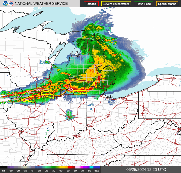
“A strengthening storm system over the Upper Great Lakes will bring moderate to heavy snow to the Upper Peninsula of Michigan through Tuesday morning,” the weather service said on its website and on X. “(The) impactful spring storm on track to widespread strong winds and accumulating snow (Monday) into Tuesday. This will result in hazardous driving conditions tonight and Tuesday morning and maybe some power outages.”
The western UP, including Ironwood, Houghton and the Keweenaw Peninsula, is under a winter storm warning Monday. A winter weather advisory extends from west of Marquette along Lake Superior to nearly Whitefish Bay. The rest of the Upper Peninsula, as well as the Lower Peninsula, is under a hazardous weather outlook.
Lakes Superior, Michigan and Huron are under gale warnings today, the NWS said.
What’s wind chill?: When temps fall and winds pick up, wind chill can be dangerous.
The storm and cold front will bring high winds as well — nearly 45 mph in some places — which could further impact northern Michigan areas still recovering from an ice storm.
More than 5,000 customers in northern counties remain without power after the storm left nearly 1 inch of ice on trees, power lines and other surfaces and caused power outages across a wide area.
Areas around Gaylord could see winds up to 45 mph today through Wednesday.
Here’s what the National Weather Service is saying about the forecast.
How bad will the weather be in the Upper Peninsula?

The Marquette National Weather Service office said the winter storm warning is in effect until 11 a.m. Tuesday.
There will be heavy snow and areas of blowing snow, the NWS said.
Total snow accumulations will be between 2 and 9 inches, with the highest from Painesdale southward in the Keweenaw, and the interior areas of Ontonagon and northwest Gogebic counties.
Winds gusts could reach 40 mph and will create areas of blowing snow.
The high Monday could reach 45 before rain showers turn to snow. Monday night, snow and rain are expected, with precipitation turning to all snow after 9 p.m. with 4 to 7 inches possible.
Tuesday, snow will taper off by 9 a.m. with highs climbing to the mid 30s.
In Sault Ste. Marie, rain also is expected today with highs near 50. A wintry mix will begin by 11 p.m. with snow showers ending Tuesday morning. About an inch of snow is likely.
Will northern Michigan see bad weather?

The Gaylord NWS office said rain will transition to snow tonight into Tuesday with the best potential for a couple inches of snow accumulation across the northwest snowbelts.
Temperatures Monday will reach the upper 50s before falling into the upper 20s overnight. Tuesday the high will be in the mid-30s.
“Portions of Antrim, Kalkaska, Otsego, and Chippewa counties will see the best chances for 1-3 inches, locally up to 4 inches,” the weather service said.
An additional 2 inches could fall overnight, centered on the Gaylord area.
Windy conditions are also anticipated. The combination of falling snow and wind gusts up to 45 mph will lead to slick roads and low visibility at times, the weather service said.
Wind gusts from Monday through Wednesday will be strongest Tuesday, the weather service said, reaching 41 mph in Alpena, Boyne City, Cheboygan, Gaylord and Petoskey.
With the high winds comes low wind chills, the weather service said, with temperatures feeling as low as 17 in Cadillac, 16 at Houghton Lake, and 15 at Sault Ste. Marie.
Will southeast Michigan see bad weather?

Temperatures Monday will be in the upper 60s ahead of a cold front that moves through Monday afternoon, the NWS said.
Wind shifts west and gusts increase into the 30 mph range with afew gusts near 40 mph by late afternoon and this evening.
“Much colder air returns to the region tonight and Tuesday,” the weather service said. “Wind gusts increase to near 45 mph after midnight and continue through the day. Scattered mixed rain and snow showers add to the harsh conditions.”
It will be partly cloudy overnight with rain Tuesday. Highs will be in the mid-30s.
Is it expected to rainy in west Michigan?

The Grand Rapids office said a special marine warning continues for the Lake Michigan from Grand Haven to Pentwater until 11 p.m. Monday.
Monday will bring a chance of rain with highest from the upper 50s to mid-60s.
“Cloudy skies with chances for precipitation Monday morning,” the weather service said. “The front will exit late morning, early afternoon and Temps will climb into the 60s by Monday and fall back into the 40s Tuesday.”
Tuesday morning will see rain and snow showers, with temperatures only in the 40s.
Winds are expected to be up to 34 mph Monday and Tuesday.
Will it rain in Lansing ?
There is a chance of rain at mid-day Monday with highs in the mid-60s. Winds will pick up, gusting to 33 mph.
Monday night, rain is more likely with temperatures in the 30s.
Tuesday morning will bring rain and snow showers before noon. Winds will remain strong, gusting to nearly 40 mph.
What will the weather be in Port Huron and the Thumb?
The weather service’s Detroit/Pontiac office said there is a chance of rain Monday with highs near 70. Winds will be strong, in the mid-20 mph range.
Monday night, it will be partly cloudy.
Rain showers are likely Tuesday, with snow showers in the afternoon. Temperatures will be about 41 degrees.
This article originally appeared on Lansing State Journal: Michigan winter storm will create snow, wind gusts Monday, Tuesday